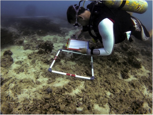
RPI scientists, in conjunction with our affiliate company, Pandion Saudia, conducted a field study to provide the scientific basis for designing an artificial reef plan for the Aramco operating area of the Arabian Gulf. The work included activities to:
- Develop initial site selection map to prioritize areas based on available spatial data
- Conduct area surveys to identify locations of habitats and initial estimates of habitat quality; we are using a custom-designed towed diver sled and MX sonar system with post-data processing to map benthic habitats
- Conduct more detailed site surveys to collect target and supporting data
- Synthesize data to develop recommendations for artificial reef designs based on the type of resources to be provided
We used GIS to develop an initial Site Suitability Model; and we developed a Multi-Metric Index (MMI) approach to score each area based on condition indices for sessile benthos, sedentary benthos, and fish.

